

We have seen the potential of AI in supporting our conservation work.
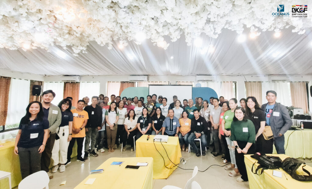
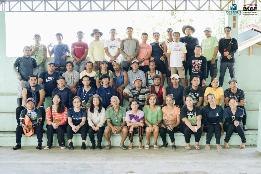
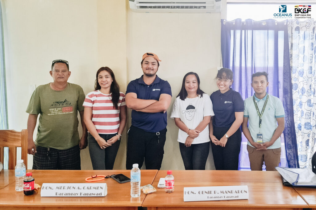
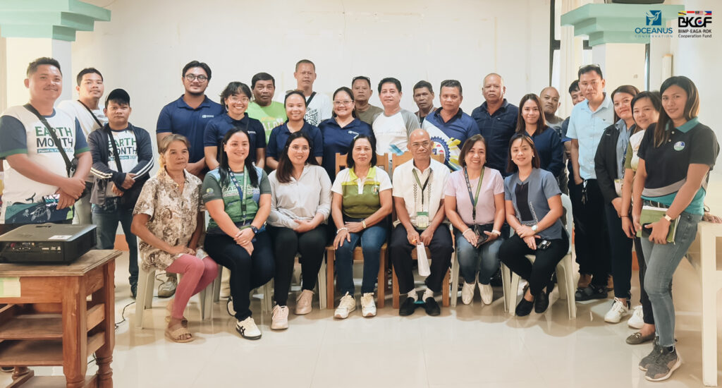
Figures 1-2. Workshop participants during the Community-Based Rehabilitation and Conservation Training last December 3-4. Sources: Andreu Bayongasan, Oceanus Conservation; Dafrose Bajaro, Thinking Machines
In 2022, Oceanus partnered with Thinking Machines Data Science and Gainforest to improve monitoring of mangrove forests through mobile data collection and drone imagery. By using digital forms to collect data and uploading collected mobile and drone photos to the cloud, we found that there are various AI applications, specifically machine learning, that can be used. We saw the possibility of computing Above Ground Biomass (AGB), determining whether a plot has mangroves, and even identifying mangrove tree species!
Last year, with our longstanding partners Thinking Machines (TM), GainForest, and Global Green Growth Institute (GGGI), received funding from the BIMP-EAGA-Cooperation Fund (BKCF); together, we want to take this to the next level, see how AI and digital technologies can improve conservation and rehabilitation, and scale and replicate these tools across organizations.
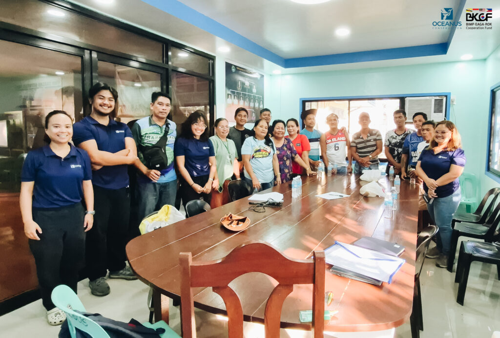
We officially kicked off our project last December 4 to 5, 2024, through our Community-Based Mangrove Rehabilitation and Conservation Training in our pilot site, Bislig City. Key stakeholders attended the event, such as representatives from Bislig City Local Government, DENR CENRO, barangay officials, and Fisherfolk Association members from barangays Bucto, Tumanan, Caguyao, and Sibaroy.
What AI and digital tools are we going to use?
Building on the learnings from our 2022 proof-of-concept, we are going to utilize this suite of digital tools, and integrate machine learning in our workflows:
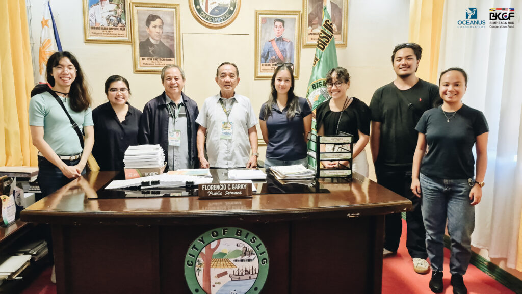
Source: Geneve Guyano, Oceanus Conservation
- Satellite imagery – images of Earth captured by these satellites, combined with geospatial analytics, can guide organizations like us on where to target its rehabilitation and conservation efforts. We zoomed in on Surigao del Sur and used a set of criteria to select our pilot project sites.
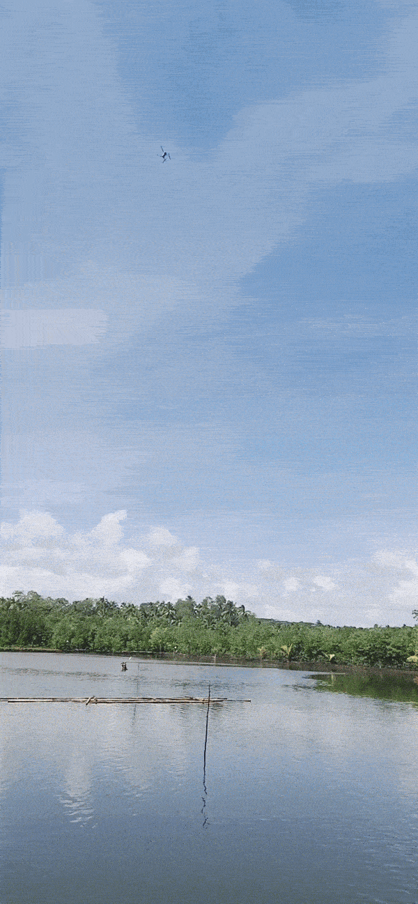
- Drone imagery—We already use drones to monitor our other rehabilitation projects. For this pilot, however, we want to test the application of existing Machine Learning models to check the decrease in canopy cover for mature mangrove forests and monitor seedling count and survival rate in our rehabilitation sites. (Who knows, we might be able to collect training data for a new model!)
- Digital Data Collection – We used a free app called KoboCollect, which enables offline data collection that is helpful for field-based teams. With the help of our partner fisherfolk associations, information such as tree species, coordinates, height, diameter at breast height, and close-up photos of barks, leaves, and flowers/fruits will be entered for mature mangrove trees. In contrast, key information will be collected from planted seedlings depending on rehabilitation methods. TM is mapping the data we collected on Looker Studio in real-time, which allows us to see the number of trees recorded by fisherfolk data surveyors, making it easier to incentivize them for their data collection work. Lastly, these maps will be uploaded to Gainforest’s Green Globe Platform for researchers, funders, and like-minded environmentalists worldwide to see.
At the tail-end of our project, we will share our key findings and learnings with our key stakeholders. We will also capacitate other conservation organizations to adopt digital tools in their activities, thus scaling the successful digital-enabled practices we see on the ground.
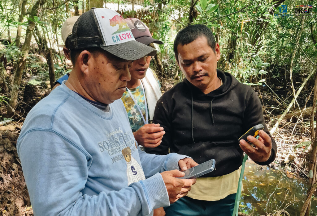
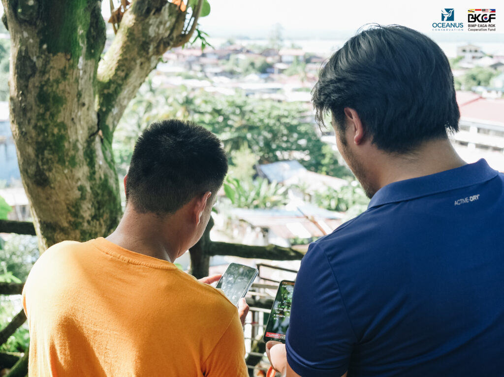
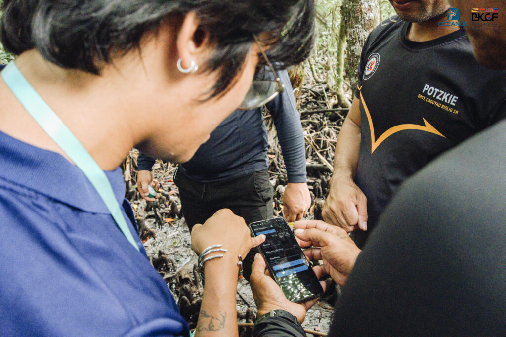
Figures 4-7. Participants tried Mangrove Survey form in KoboCollect during Day 1 of the training and on field during Day 2. Source: Danna Ang, Dafrose Bajaro, Thinking Machines
Why Bislig City?
Surigao del Sur is our area of focus because of our familiarity with local stakeholders and site conditions. Oceanus has a 3-year rehabilitation project in Cagwait and has trained at least 20 community members to collect mangrove field data. With this project’s maturity, our team set its sights on other potential sites.
The City of Bislig, among the most populous in Surigao del Sur, is our pilot area for this project. Our team received an expression of interest from key stakeholders in participating in our rehabilitation programs. We and TM conducted site selection by mapping Bislig against biophysical and socio-economic criteria to determine the best possible project sites for rehabilitation and conservation. Following our on-the-ground validation and stakeholder engagements from September to November this year, Barangay Bucto is our partner for rehabilitation, while Barangays Tumanan and Caguyao are our collaborators for conservation.
We look forward to rolling out our activities and assessing them on the ground. Mangroves offer coastal protection and other ecosystem services – which is crucial for Bislig City and highly susceptible to tsunamis, storm surges, and floods (see Figure 8).
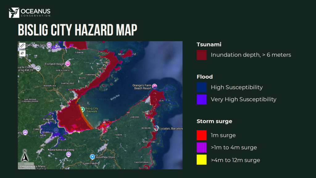
Map Source: HazardHunterPH (https://hazardhunter.georisk.gov.ph/map)
Building relationships with Bisliganon stakeholders, and sharing learnings with others
It takes a village to protect our blue carbon ecosystems. The best part about Oceanus’ projects is our relationships with community partners and stakeholders. Their local knowledge and ownership will help protect our mangrove ecosystems in the long term.
As such, we are grateful for the warm welcome and generous support provided by the following offices and groups:
- Mayor Florencio Garay and the Bislig City Local Government, as well as the City Planning and Development Office, City Environment and Resources Office, City Agriculture Office, and City
- Vice-Mayor Alfredo Carmelo, Hon. Victor Alvar Jr., Hon. Edgar Corvera, Hon. Bernadeth May Almanon-Balondo and the 9th Sangguniang Panlungsod of the City of Bislig
- Mr. Nathaniel E. Racho, RPF OIC and DENR CENRO Bislig
- Barangay Captain Vicenta Odares and Bucto Farmers and Fisherfolk Producers Cooperative
- Barangay Captain Gil Abarondo and Tumanan Farmers and Fisherfolk Organization
- Barangay Captain Henrito Samontina and Barangay Caguyao Farmers and Fisherfolk Association
Written by Geneve Guyano.